
The Tulare County Planning Commission (TCPC) approved a request by Kaweah River Rock to modify its 2001 mining permit at its July 27 meeting. The modification allows the company to mine gravel and sand on a 20-acre parcel that was previously approved only for storage. The parcel in question borders residential properties and domestic and agricultural wells.
What the Resource Management Agency (RMA) considered only a minor modification ended up requiring two public hearings in order to settle the differences. The neighbors considered the request as a new mine that should go through a complete permitting process. The RMA told the public that the modification didn’t even merit a public hearing but conducted one anyway in the spirit of transparency.
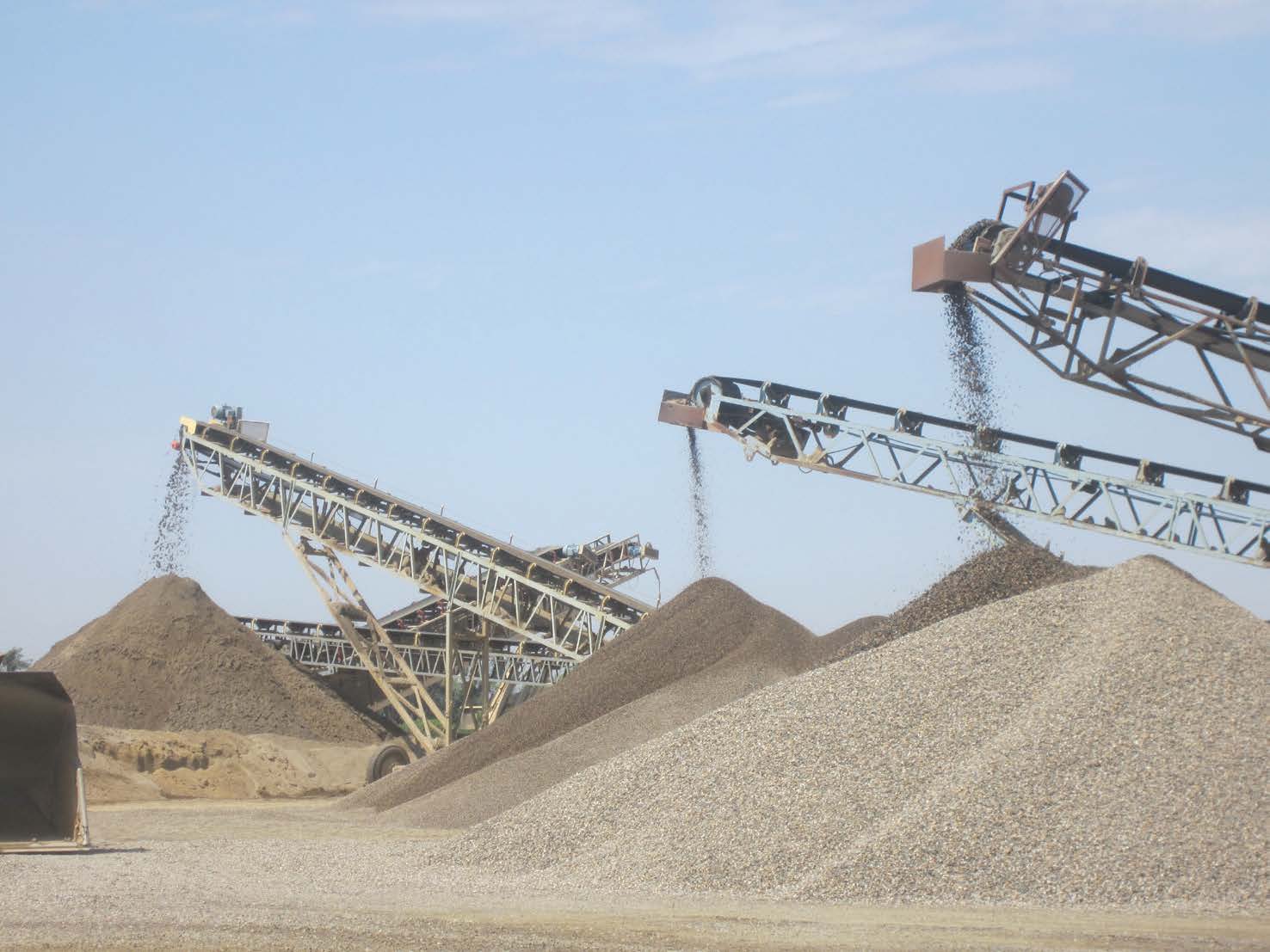
The purpose of modifying the permit is to extend the life of the current mine while in the process of preparing the Kaweah River Rock South plant. Doug Reynolds, manager of Santa Fe Aggregates, said that mining has been going on at the site for 70 years and the reserves are almost depleted. The modification would allow the company time to prepare and move production to Kaweah River South. That mine should be ready to go into production in five years, depending on the market. Kaweah River Rock is currently owned and operated by Santa Fe Aggregates.
The TCPC voted to hold off approving the modification at its June 22 meeting, instead extending the public hearing for 30 days. Reynolds took that time to do additional outreach and amend the modification in response to the feedback he heard from the first public hearing
Reynolds gave neighbors tours of the mine and clarified ambiguous language in the conditional use permit. The permit now clearly states that Santa Fe Aggregates will not go deeper than 30 feet, will only take 500,000 tons of gravel and will not mine more than 20 acres. The original language of the modification left these parameters up to interpretation.
Kaweah River Rock mine borders Woodlake on one side and the CEMEX Lemon Cove facility on the east. The CEMEX Lemon Cove Facility was responsible for draining domestic and ag wells when it dug two huge pits that filled with water that subsequently drained the residents’ and farmers’ wells. Julie Bigham, a Woodlake resident, said that no one really knows where the ground water depth is and that it changes in wet years to less than 30 feet. She wanted to know how the residents can be sure that Santa Fe Aggregates mining activities won’t affect the wells like what happened at the CEMEX Lemon Cove facility and Stillwell mine a mile away.
Reynolds said that the equipment used to dig up the gravel can detect when they are within five feet of ground water, and if they get to that point they will stop digging. The modified permit also states that whether they hit water or not, the mine will go no deeper than 30 feet. He also said that they will have monitoring wells to continually test the water level.
Karen Callahan, a neighbor to the north of the mine said that “it’s not the project, it’s the monitoring I am concerned about.” She said she is concerned with the RMA’s history of not enforcing the terms of conditions of mining permits and their consequences. At the Lemon Cove Facility, CEMEX botched their reclamation and blocked the aquifer affecting her ag well. She wanted to know how Santa Fe Aggregates planned on returning the site to its original condition as their permit states.
Reynolds said that he was not a geologist but explained that there are basically four layers. The first layer is scraped off and stored in berms next to the mine. Each layer is labeled and stored so it can be put back in its original condition during the reclamation process. The next layer is the gravel and sand that the mine extracts and sells. The third layer is older gravel and not usable for construction. The fourth layer is in the water table and completely unusable. Reynolds said that the gravel where the water flows will not be disturbed.
Bigham countered by saying that if “you take out the gravel and sand the land will never be the same. You are not going to be left with loamy sand anymore. You will come up with something like clay loam.” RMA and mine representatives insisted this would not happen and “determined that the project will not result in new significant impacts or substantially increase the severity of impacts previously identified.”
Frank Callahan, Karen Callahan’s husband, said that about ten years ago he videoed water sitting in a depression on one of the berms containing stored layers of sand and top soil to be replaced during the reclamation process. After five weeks none of the water permeated and gradually evaporated. Planning commission members expressed concern about his observations. Bigham also stated that once enough weight is removed from the above aquifer the water will rise and the area will become a lake. When underground water becomes surface water it evaporates and becomes a net loss of water for the entire basin.
Karen Callahan reminded the commissioners that the original permit on the 20 acres said that the parcel would be used for storage only and that the site would never be mined. The 2001 permit states, “The proposed amendment will allow for the storage of rock products, rock crusher parts and heavy equipment on an approximately 20-acre portion of the 33.9 acre site for a period of five years. No mining will occur anywhere on the project site.”
Frank Callahan stated that the residents who live next to these 20 acres withdrew their appeal to permit 01-002 in 2001 specifically because of the written assurance by the RMA stated above. Mike Washam, Economic Development Manager, responded “that’s why we are here today, to change that.”