
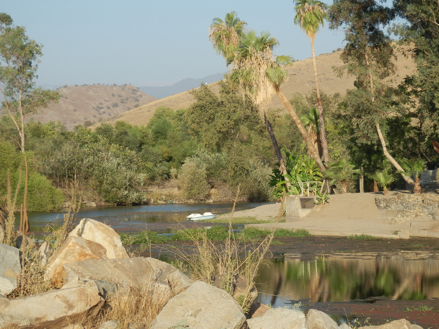
From the Sierra Nevada Mountains flows the Kaweah River. This river can rage through the Valley creating floods, or more commonly, be reduced to a trickle in the summer months even before it was dammed in 1962. About a mile north of Sequoia Union Elementary School and 2.5 miles south of Woodlake is an isolated area called McKay Point where the St. Johns River splits off from the Kaweah River. This is where “mother nature made a wonderful recharge area of sand and gravel.” It is this resource that has been a magnet for gravel companies since the 1960s.
Three water companies own McKay Point and want to construct a reservoir, Tulare Irrigation District (TID), Consolidated Peoples Ditch Company (CPDC) and the Visalia and Kaweah Water Company (VKWC). They plan on paying for the construction of the $12 million reservoir by using royalties earned through mining the gravel. CEMEX has been contracted to do the work and will be monitored by TID. The 4,000-acre-foot reservoir will be used to increase irrigation runs, increase efficiency of the hydroelectric dam at Terminus, and aid in flood control. As a reference, Bravo Lake in Woodlake holds 5,000 acre-feet of water.
The September 4 issue of the Valley Voice introduced the link between McKay Point Reservoir, Stillwell Mine, and the two mines at the Lemon Cove Project. This connection runs far beyond the fact that the four sites excavate gravel. According to the Project Description, “The owners propose to initiate construction of the McKay Point Reservoir as the mining activities at the Stillwell Project are ending. As the Stillwell project ends, CEMEX’ excavation and other related equipment would move to the McKay Point Reservoir site, thereby reducing the need for duplicate sets of equipment and eliminating the cumulative impacts of combined air emissions.” It would also mean no increase in truck traffic and wear and tear on our roads. The Lemon Cove Facility’s original processing plant, built in the 1960s, has been torn down. The plant has been replaced with portable machines that crush the gravel that could be moved to the McKay Point Mine if need be.
The projects will also be linked through the use of the CEMEX’ existing ponds. As CEMEX extracts the gravel from McKay Point, the pit created will fill with water. The water will be pumped into a recharge trench and any extra will be pumped into the existing ponds at the Lemon Cove Project.
Concerns Allayed
George Clausen, who lives next to the Lemon Cove facility, knows firsthand what a mine can do to the water table. He and several other neighbors of CEMEX have had their wells go down significantly or completely dry.
A local resident lamented, “Stillwell is a real black eye for the proposed reservoir. If CEMEX can’t get a little project like Stillwell right, how are we supposed to trust them with McKay Point Reservoir?”
Because TID will be holding the mining permit, Clausen explained that the McKay Project is completely different from a typical gravel mine. The project is an irrigation district trying to make the most out of Tulare County’s limited water, versus CEMEX tying to make a buck (or a million.) “I trust an irrigation district a heck of a lot more than a gravel mining company,” said Clausen. “TID won’t do something to destroy the aquifer whereas CEMEX would.”
According to Aaron Fukuda, TID engineer, “The owners are also long-standing public and private entities within the Tulare County area with a vested interest in sustaining the viability of the area, including the ability to retain and bolster surface water supplies. The owners believe that the relationship between the parties (county, owners and Cemex) will produce the highest level of accountability such that issues will be addressed and impacts will be minimized. If the owners don’t comply with their county-issued permit, then their ability to store and better manage water by access to this storage facility will be compromised.”
TID hired Provost and Pritchard to do the EIR on McKay Point. One local wondered how the company can remain unbiased. “Their main clients are irrigation companies.” After having experienced CEMEX’ hiring of a consulting firm willing to say whatever the multi-national wanted, this is not an unfounded worry. But Provost and Pritchard is respected by stakeholders on all sides of the issue and they are not going to jeopardize their reputation to placate an irrigation company. CEMEX’ EIRs were probably “just good enough to slip by the supervisors wanting to be business-friendly, whereas Provost and Pritchard will write an honest EIR,” said Clausen.
Concerns that Remain
If McKay Point Reservoir is approved, Clausen has two major concerns. One of his concerns is the slurry wall that will go down into the aquifer between 60 and 90 feet. A slurry wall will surround the reservoir and restrict groundwater flow from entering through seepage. The wall would serve to keep the excavation in near dry condition and would also keep the reservoir empty so it would be ready for use during a flood or a spring flood release from the dam when farmers have the least need for water.
The flow of ground water is from northeast to southwest. When the slurry wall from the reservoir is connected with the silted-over ponds at the Lemon Cove facility, the aquifer between the hill bordering Dry Creek and Wutchumna Hill will be completely blocked. The aquifer feeding into Clausen’s wells won’t be affected because his farm is above the project, but anyone living west of McKay Reservoir could see their well water level drop or go dry for part of the year. There are about 30 or 40 residential and farming wells west of this area that are adjacent to the St. John’s River. They will have water in their wells when the river is running, but that only happens half the year. The underground aquifer runs all year and has the potential of being blocked by the existing mines and slurry wall.
The Lemon Cove Sanitation District well sits just above Mckay Point, .8 miles from the reservoir. This large well provides all of the water for the residents of Lemon Cove.
During a Scope Meeting put on by TID earlier this year, Del Strange, of Valley Citizens for Water, also commented on the slurry wall. He said that the slurry wall will be dead center in the throat of the Kaweah Basin. “The water that is coming underground from the dam is narrowly throated through a shallow part of the area. Bedrock is about 60’ depth, but it does not span the full width through the two mountains. Through glacial action, the area is a shallow rounded channel. The site is like putting a solid brick in the hourglass and cuts off the Kaweah Basin.”
Clausen’s second concern is evaporation. With the many open pits full of water, Clausen is concerned about the cumulative effects of evaporation. “Drive up Dry Creek and there is pond after pond left over by the Artesia Mine. Stillwell alone has 1,000 acre-feet of water in it. You are not going to find one hydrologist that says open pits are good for the aquifer. The water is better off flowing in the creeks or left underground.” The problem with evaporation from mining pits that fill with water has been pointed out to the Tulare County Supervisors since 1970, with little or no response.
During the public hearing in October of 2002 for the Stillwell Project, Dan Dooley, a lawyer speaking on behalf of the Kaweah Delta Conservation District (KDWCD) and St. John’s River Association (SJRA) stated that, “the Kaweah River Basin is in critical overdraft and the evaporative losses of up to 400 acre-feet a year from the proposed reclamation lakes needs to be mitigated. Dennis Keller, a civil engineer, also speaking on behalf of KDWCD and SJRA, said that, “the expense to the district to replace lost evaporative water would be high and a burden to the District.”
The Environmental Impact Report written in 2002 for Stillwell mine declared that there would be no significant evaporation from the ponds, thus no mitigation was required.
The flood control aspect of Mc-Kay Point Reservoir is lauded by all, but when put in historical perspective, seems like a drop in the bucket. During a hundred-year flood event, like the one in 1955, Terminus Dam, which did not exist at the time, would have been overflowing within 23 hours. Tom Cairns, spokesperson for many Lemon Cove residents, said that a friend was drilling a well, and after going down about a hundred feet hit old redwoods. That means that in Tulare County’s ancient history, redwoods were rushing down the Kaweah River from the Sequoia National Park during a major flood. During the flooding that occurred in 2002, McKay Point Reservoir could have prevented a lot of headaches and would have been a welcome asset to the community, but it’s not going to be relevant in a major event.
According to Richard Garcia, representing the local Sierra Club, flood control is good for the environment. McKay Point Reservoir would prevent the natural waterways from flooding and hold the water back until needed. Garcia’s concern is that all the stored water will be used for irrigation. “We are a delta where the rivers fan out into creeks such as the Elk Bayou, Mill Creek and Cross Creek. I would like to see a balance between recharging the creeks and the water going down the irrigation canals,” he said. Garcia did concede that all the water behind the dam is owned by the irrigation districts and that’s the water that will be filling McKay Reservoir.
Garcia pointed out that the Sierra Club has not taken a position on McKay Point Reservoir and that the local chapter supports additional water storage.
The locals, whose ability to farm has declined and whose homes have become unlivable because of gravel mining, want there to be a comprehensive study on the Kaweah River Basin before any more mining permits are approved. What has happened up until now is a piecemeal process, approving mine by mine. This process cannot gauge the cumulative effects of hundreds of acres of alluvial mining on the town of Lemon Cove, the environment, and Tulare County’s underground aquifer. But for now, the locals are taking a wait-and-see attitude, waiting to see what Provost and Pritchard has to say in their EIR report.
There is no specific date for the completion of the EIR, but TID is hoping for it before the end of the year. “Our analysis may take longer and/or the review may take longer.” said Fukuda.
I just got home from fishing McKays and I also live close by. My comment is short. Whatever they do out there they dont ruin it. That is some of the most awsome scenery in the state. Please be careful with what we have up here.